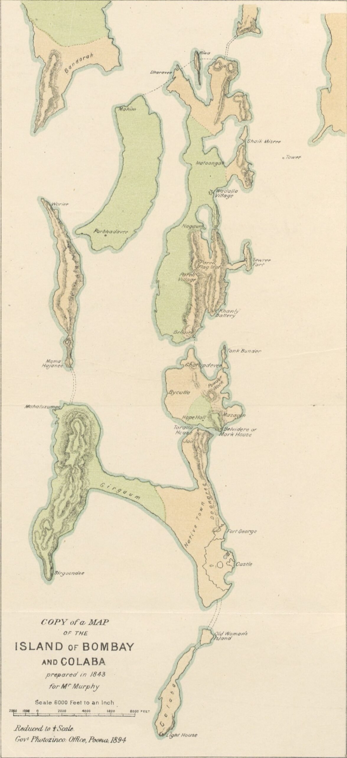
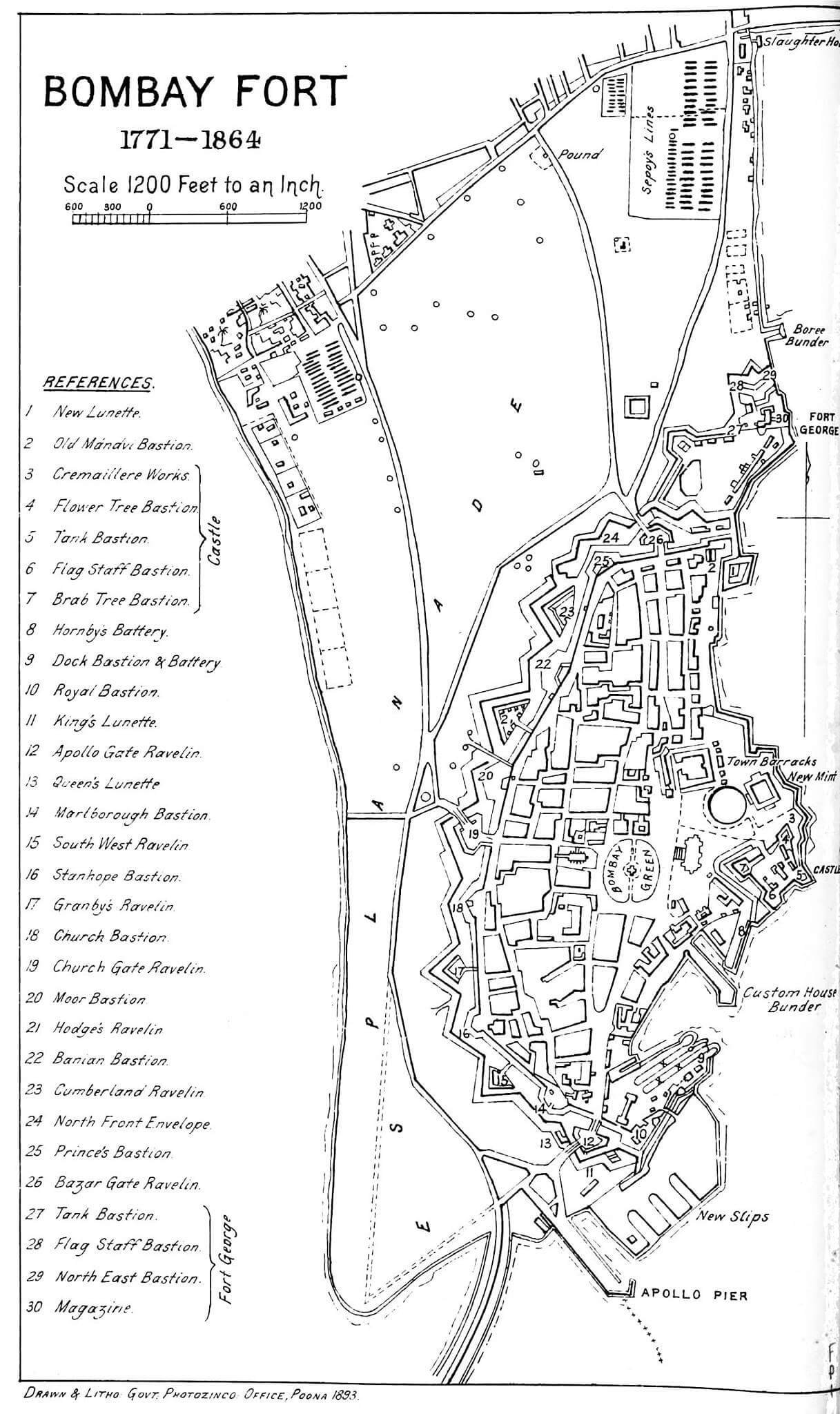
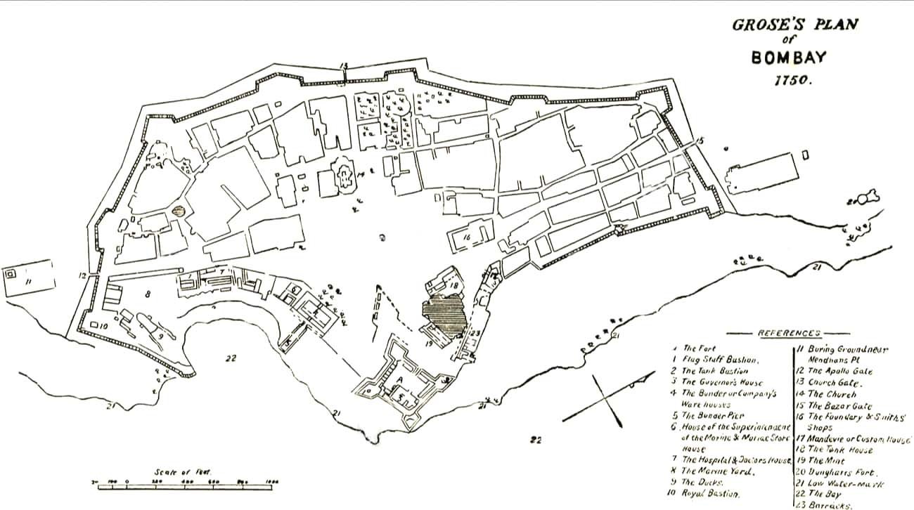
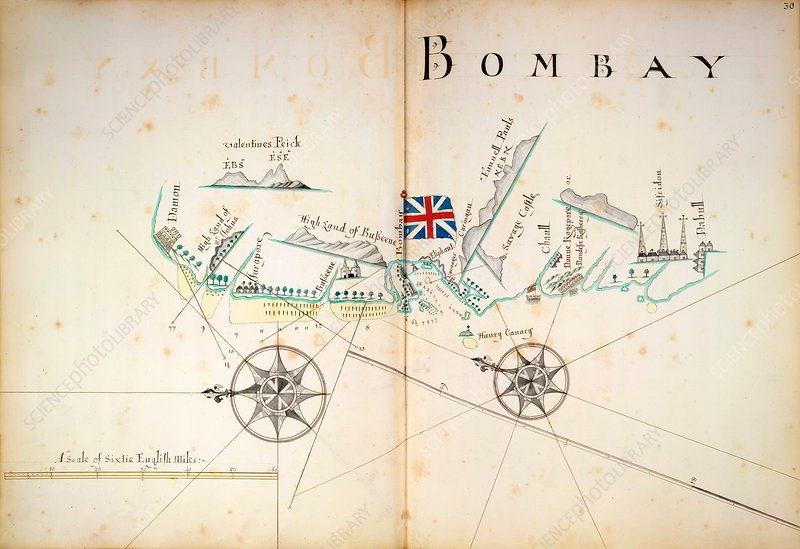
The Seven Islands of Bombay were 16th-century Portuguese colonial possessions lying off the Konkan coast, the mid-west coast of India, that were partly handed over to England under this title as part of the dowry of Catherine of Braganza when she married Charles II in 1661. The isles and islets had earlier been part of indigenous polities like the Silhara dynasty and the Gujarat Sultanate before they were captured by the Portuguese in 1534. After acquiring them as dowry, Charles II leased Bombay and adjacent islets to the East India Company in 1668 for £10 per year.
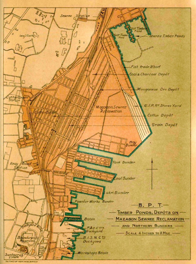
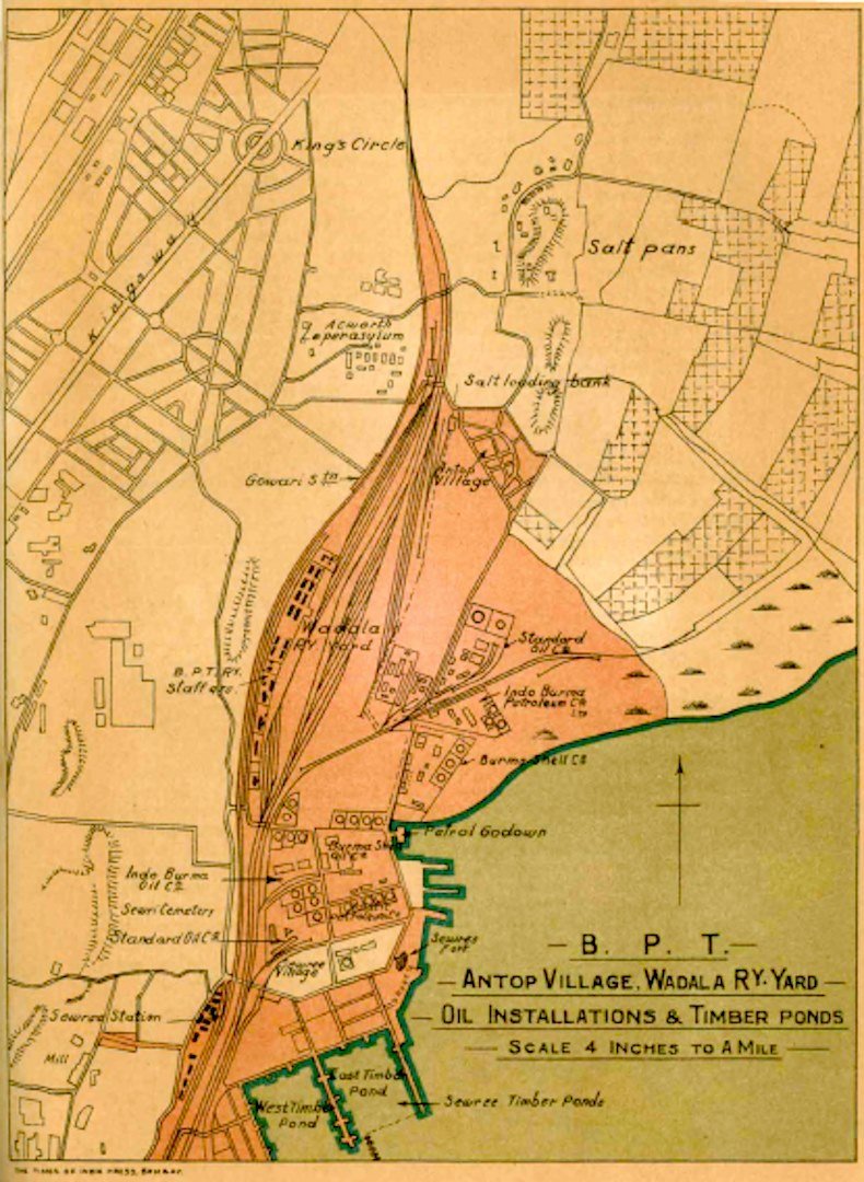
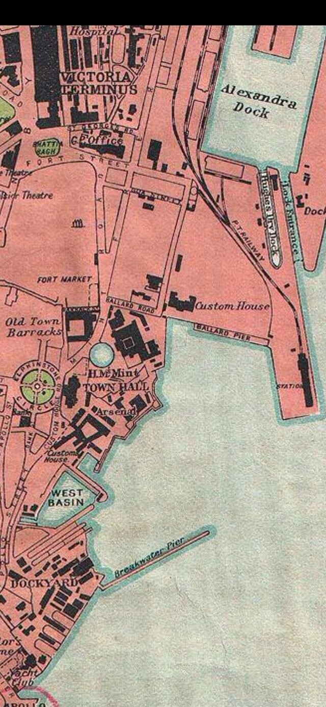
By 1845, the islands had been merged[1] into one landmass by means of multiple land reclamation projects. The resulting island of Bombay was later merged with the nearby islands of Trombay and Salsette that lay to its north-east and north respectively to form Greater Bombay. These islands now constitute the southern part of the city of Mumbai.
The original islands handed over to England were as follows:
- Isle of Bombay
- Colaba
- Old Woman’s Island (Little Colaba)
- Mahim
- Mazagaon
- Parel
- Worli
