Skip to content
Old Bombay Photos
The Nostalgia Of Old Bombay Photos
Bombay Photos
Advertisement
Maps Of Bombay
Air India
Artifacts
Bombay Photos
Advertisement
Maps Of Bombay
Air India
Artifacts
Recent Posts
All Posts
Recent
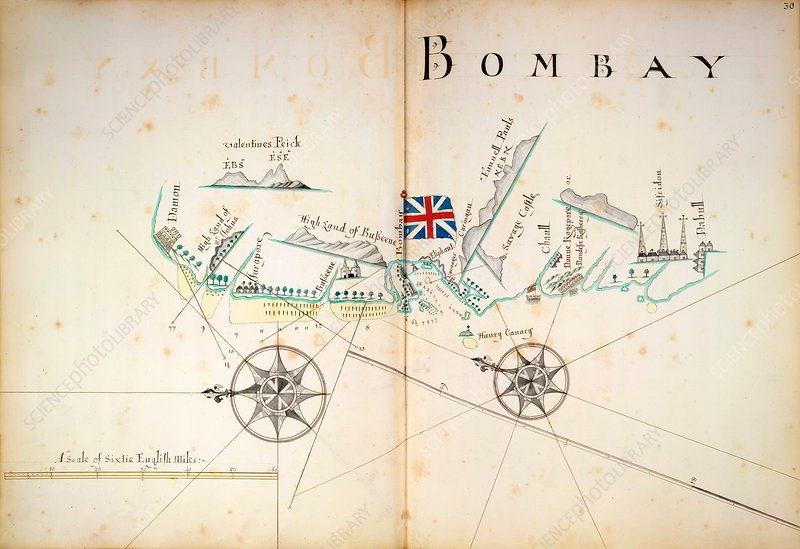
Old Maps Of Bombay
Read More
Introducing Air India Flights To Middle East
Read More
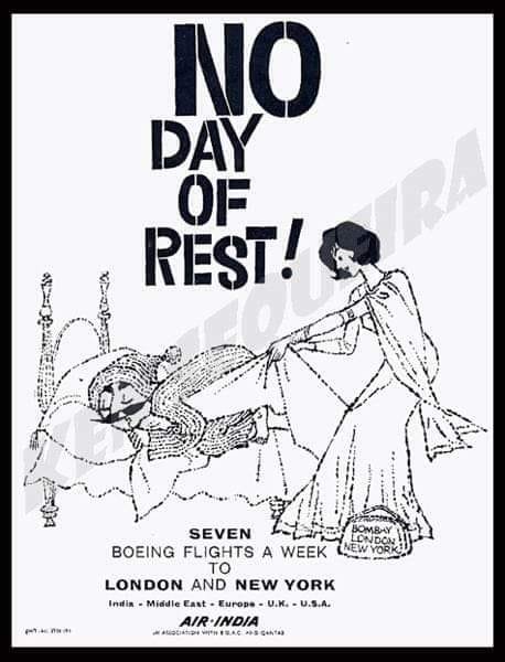
No Day Of Rest Seven Flights Form London To New York – Air India Advertisement
Read More
Related Posts
The Polson Butter Story
February 21, 2025
Read More »
Old Maps Of Bombay
May 11, 2021
Read More »
Introducing Air India Flights To Middle East
May 6, 2021
Read More »